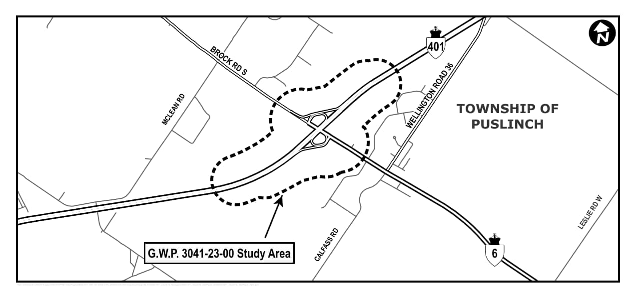
This image is a black-and-white map illustrating the study area for improvements to the Highway 401 and Highway 6 interchange in the Township of Puslinch, Ontario. The map shows Highway 401 running horizontally across the top portion and Highway 6 running diagonally from the bottom right toward the interchange. A dashed outline surrounds the study area, which includes the interchange where these two highways meet. Several local roads are labeled, including Brock Road South to the northwest, Wellington Road 36 near the interchange on the east side, McLean Road to the west, Calfass Road to the south, and Leslie Road West to the southeast. The text “Township of Puslinch” appears prominently on the right side of the map, and a box at the bottom left reads “G.W.P. 3041-23-00 Study Area.” A north arrow is located in the top-right corner for orientation. The map uses simple black lines for roads and dashed lines to indicate the study area boundary.