
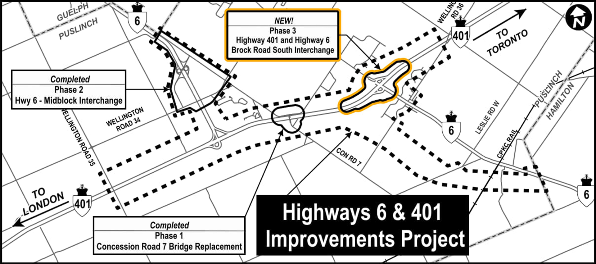
A black-and-white map illustrating the Highways 6 and 401 Improvements Project Study Area. Highway 401 runs east–west across the center of the image, while Highway 6 runs north–south. The map identifies multiple project phases, including completed Phase 1 (Concession Road 7 bridge replacement) and Phase 2 (Highway 6 midblock interchange), as well as a new Phase 3 which is the Highway 401 and Highway 6 /Brock Road South Interchange Improvements Project. Dashed lines and arrows indicate roadway connections and planned changes. Labels show directions to nearby cities, including Toronto to the east and London to the west. Surrounding rural roads and intersections are also marked to provide geographic context.